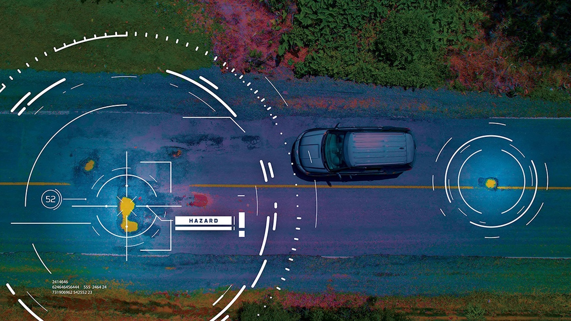
A new study shows how high-resolution synthetic aperture radar (SAR) satellite data can detect ground infrastructure damage from space.
The technology is capable of detecting damage early on, meaning it could function as an efficient preventative measure.
In other words, sweeping periodic checks by satellites could help to keep roads and other infrastructure safe for citizens. Preventing damage from getting worse would also save a great deal in taxpayer money.
Inspecting infrastructure from space using satellites
SAR is particularly useful because the data it collects is not affected by the time of day or weather conditions. It can observe the ground at any time and provide a comprehensive view.
The technology has often been used alongside photographic observations and other types of optical imaging to provide data following environmental disasters, for example. The military also uses SAR for intelligence operations.
The new study, published in the journal Transportation Research Record, details a new method of infrastructure monitoring using SAR remote sensing systems. It is led by Dr. Anand Puppala and Ph.D. candidate Amit Gajurel, both of whom are researchers at Texas A&M University.
Essentially, the researchers have adapted the capability to assess damage after a disaster for routine infrastructure inspection.
“When there is damage due to a natural disaster, authorities use the satellite systems to determine what caused it. Recently we started utilizing this method to look at transportation infrastructure, including highway embankments, roads, and even airport runways,” Puppula explained in a press statement.
SAR satellite systems can allow users to inspect those pavements, roads, embankments, and other infrastructure from space, saving a great deal of time.
The satellites would help to determine whether there are flaws that merit further inspection, before sending a team on the ground.
“If a given area would typically take five days to complete — between surveying the data and determining large and small areas of failure — when using the satellites, we could actually look at the data and make the same determinations in only two days, which can be very useful for time-saving,” Puppala said.
Bolstering infrastructure management
The method would also save costs on infrastructure asset management, according to the researchers.
“We’re building this up to use as a source of data for geotechnical asset management and looking at how to integrate this remote sensing data into geotechnical asset management,” Gajurel explained.
“We can use SAR data for managing the geotechnical assets. This could be a great method for organizations that are looking for a cost-effective way to manage these assets.”
Essentially, the team behind the new study believes that SAR satellite systems can be used to help infrastructure maintenance crews to be more proactive rather than reactive.
By flagging infrastructure flaws from space, ground teams can better allocate budget and time, saving taxpayer money while also keeping roads and other infrastructure safer.
ABOUT THE EDITOR
Chris Young Chris Young is a journalist, copywriter, blogger and tech geek at heart who’s reported on the likes of the Mobile World Congress, written for Lifehack, The Culture Trip, Flydoscope and some of the world’s biggest tech companies, including NEC and Thales, about robots, satellites and other world-changing innovations.

