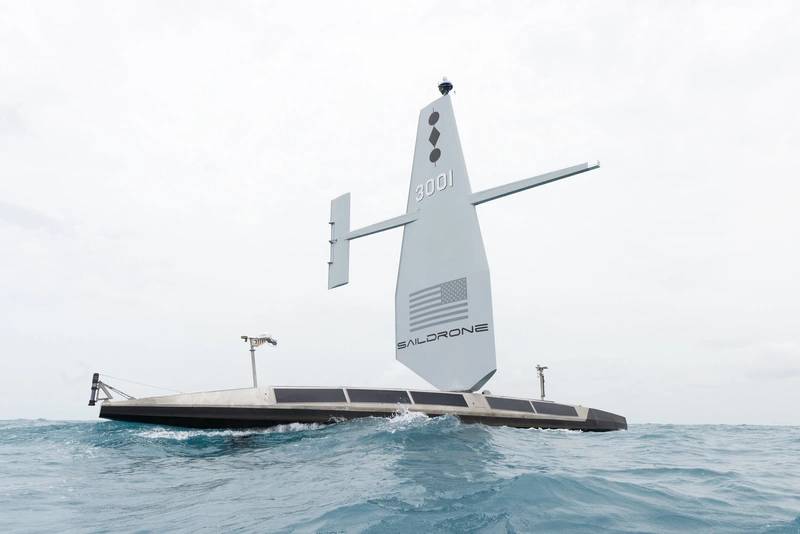
Saildrone has started a mission to map the 29,300 square nautical miles (100,530 sq km) of the Cayman Islands’ Exclusive Economic Zone (EEZ).
The Cayman Islands EEZ, extending up to 200 nautical miles from its shores, encompasses an area that is 357 times larger than the islands themselves, about half the size of the state of Florida.
The mission is being conducted using a 20-meter Saildrone Surveyor unmanned surface vehicle (USV) equipped with the latest multibeam echo sounders and metocean sensors for ocean mapping and ecosystem monitoring, as well as radar, cameras and advanced machine learning.
The project will result in 80% of the Cayman Islands’ EEZ will be mapped using autonomous technology. It will take approximately six months and will include coast waters 25m to 12 nautical miles offshore; Fishing Banks, namely 12 Mile Bank, 60 Mile Bank, Pickle Bank and Lawfords Bank; and Cayman Trough and the remainder of the Cayman Islands EEZ outside of the Cayman Trough.
Saildrone will collect the raw bathymetry data, which will be provided to the UK Hydrographic Office (UKHO) to process and update the Cayman Islands’ nautical charts. The data will belong to the Cayman Islands government.
The mission is philanthropically funded by the London & Amsterdam Trust Company Limited, a Cayman-based organization that wants to leave a legacy to the Cayman Islands.

