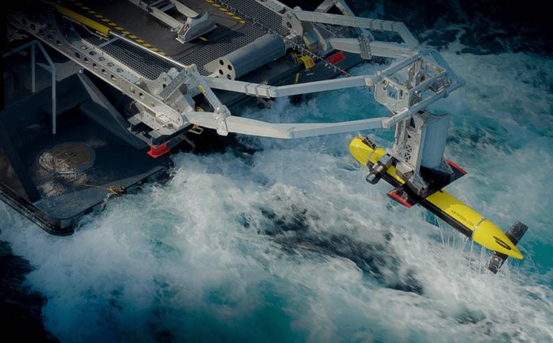
Canadian company Kraken Robotics has completed a contract to supply high-resolution seabed mapping sonar service to Precision Hydrographic Services (PHS), a customer supporting the Australian Department of Defence.
The Australian Department of Defence project sought to undertake Hydrographic High Resolution Route Surveys (RS) for a number of Australian ports.
The purpose of these surveys was to enable the collection of Maritime Geospatial Information (MGI) to support maritime domain awareness through the acquisition of high-resolution seabed foundation data and associated oceanographic data.
Under the scope of Kraken’s contract, a KATFISH high-speed survey/detection solution was used to acquire high-resolution route surveys of Australian ports.
The survey campaign started in January 2024 and was fully complete in May 2024.
“Our decision to partner with Kraken Robotics and the KATFISH synthetic aperture sonar (SAS) system for this important Defence project has proven to be highly successful.
“Over the course of five months our team travelled non-stop from port to port and surveyed several thousand line-miles of Australia’s most important ports and waterways for Defence. The Kraken KATFISH performed faultlessly with not one hour of downtime,” said Neil Hewitt, Managing Director of Precision Hydrographic Services (PHS).
“The Australian Defence Route Survey project has provided an excellent opportunity to test and demonstrate the performance of the Kraken KATFISH system.
“This is the first time that a customer has undertaken a wide area, multi-port survey project of this scale with the KATFISH – anywhere in the world. To do so in a safe and efficient manner with no downtime is a great credit to the vessel crew and the teamwork of the technical and survey personnel from PHS and Kraken Robotics,” added Greg Reid, Kraken President and CEO.

