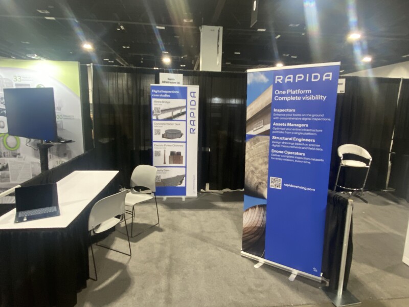
A conversation with Rapida’s Gilad Cohen at Geo Week 2025.
One of the biggest issues for asset owners and other agencies across the world is aging infrastructure, with the need for frequent inspections and maintenance to ensure these structures – be it bridges, dams, water systems, or other system assets – operate efficiently and safely. While this demand continues to build, the engineering and construction workforces that are needed to complete this work are shrinking, with more professionals retiring than entering these sectors. All of this combines to create a major headache for these asset managers, utility owners, and AEC firms, trying to meet growing demand with fewer resources than ever with which to work.
One way of the most effective ways to fight out of this situation is to leverage recent advances in technology, using tools like artificial intelligence, high-resolution imaging, and UAVs, among other tools, to gain better insights at faster speeds. It’s this kind of solution that Rapida is offering, with their SaaS platform providing an all-in-one space for these professionals to use high-resolution 2D imaging to create a 3D model of an asset, with AI tools then identifying potential defects and other issues. Geo Week News recently spoke with Gilad Cohen from Rapida at their Geo Week booth – booth number 628 – about the platform.
Cohen, who works in business development for the company, noted that Rapida started working with owners of concrete structures in Israel and has since expanded their global reach, with customers now in Europe and Asia, and plans to expand into the United States. As he explained, the platform is able to take in a variety of different data types – though, given the types of assets they most commonly work with, it is most often high-resolution imagery taken with drones – to create a 3D model of the structure. Once that “digital footprint” is created, the system then leverages AI to identify defects such as cracks in the structure.
The system is also fairly customizable, with the user being able to determine how they will define the severity of a defect, whether that be the depth of a crack, the location, the geometry, or based upon a compliance standard to which they are held. Rapida’s platform ultimately creates a 3D model that includes all of the called-out defects with the structure, and crucially color codes them based on severity. To showcase how helpful this can be in the real world, Cohen told Geo Week News about the owner of a dam who thought the asset would have to be shut down due to the high number of cracks. While Rapida’s system did identify upwards of 1000 potential defects with the asset, only five were of high severity, allowing the asset owner to prioritize those areas and keep the structure in operation.
It’s not difficult to see the benefits of this kind of system, particularly given the aforementioned issues around high demand and a shrinking workforce. Traditionally, these kinds of inspections would take weeks and require manual checking of the entire asset, which can be dangerous on top of the inefficiency. With this kind of platform, that work can then be done in a matter of days and the owner can prioritize where to send workers in the field. Cohen also mentioned how construction companies have used the platform for warranty purposes, giving an objective source and digital record of any potential issues with a structure before handing it over to the asset owner.
As Cohen told Geo Week News, this kind of platform is still fairly new in this industry, so Rapida often finds itself having to share what its platform can do rather than the asset owner looking for these specific capabilities. That said, he shared that once organizations see examples of how the platform has been used by other customers, they quickly see how much value this kind of leveraging of technology can provide.
If you want to learn more, Cohen will be at booth 628 for the entirety of Geo Week 2025.

