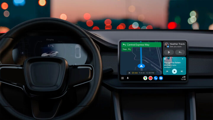
If you have an Android phone and drive a recent car, you are likely to use Android Auto while driving. Google is rolling out several new features for Google Maps, one of which is related to safety and will be available in the Android Auto mode.
Google Maps gets incident reporting in Android Auto
Google has announced several new Google Maps features for the Indian market. The app is getting incident reporting, letting users report crashes, congestion, lane closures, objects on the road, roadworks, and stalled vehicles. Google says there are over 60 million Google Maps contributors in India, and they can all help all Google Maps users with incident reports. This feature is available on Android, iOS, Android Auto, and Apple CarPlay.
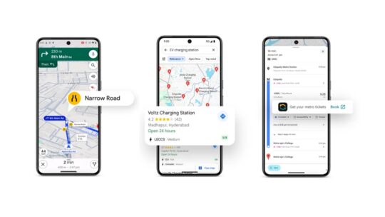
The company is also using AI to warn car drivers about narrow roads in India. AI uses data about the distance between buildings, paved sections, road types, satellite imagery, and Street View to estimate the road width. Based on road width, Google Maps will notify users if the road is too narrow for a car.
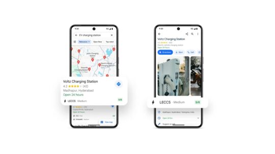
Google Maps now clearly displays if you have to take the flyover. Google is working with local EV and charging firms Ather, ElectricPe, Kazam, and Statiq to display information about over 8,000 charging stations. The app will display plug types and real-time availability. India is the first country to have this feature for two-wheelers.
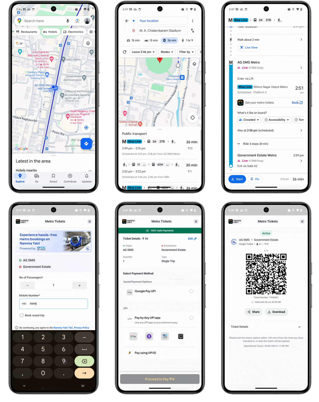
Thanks to a collaboration with Namma Yatri and ONDC, travelers can get metro tickets in Chennai and Kochi via Google Maps. The app will also show curated lists of recommended places to eat and shop in ten cities: Ahmedabad, Bengaluru, Chennai, Delhi, Goa, Hyderabad, Jaipur, Kolkata, Mumbai, and Pune. These lists are made by NDTV Food and MagicPin.
Most of these features could be released in other countries in the future.


