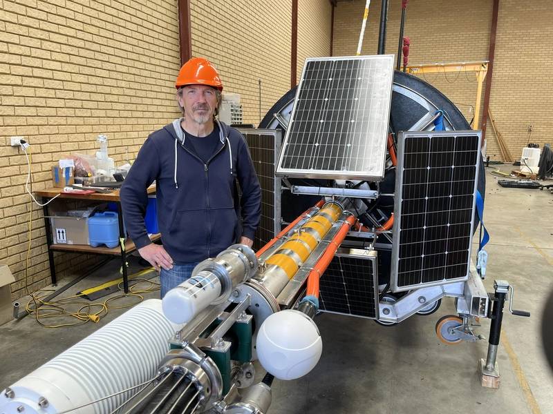
Curtin University has joined forces with NASA, University of Miami, San José State University and the National Institute of Standards and Technology on a new-generation satellite mission to study the colour of the ocean from space, providing vital information about ocean health and its role in climate regulation.
Researchers recently deployed a 15-metre-tall buoy off the coast of Perth, Western Australia, as part of a new project to ensure the data quality for NASA’s newly launched PACE (Plankton, Aerosols, Clouds, Ocean Ecosystems) satellite mission.
Professor David Antoine, head of Curtin’s Remote Sensing and Satellite Research Group (RSSRG) in the School of Earth and Planetary Sciences, said the new optical system, known as MarONet (Marine Optical Network), deployed near WA’s Rottnest Island will play a critical role in verifying – or ‘ground-truthing’ – PACE’s satellite observations.
“We typically think of the ocean’s colour as blue, but in many places, it looks blue-green because those areas are teeming with single-celled plants called phytoplankton, which contain chlorophyll and absorb the blue light,” Professor Antoine said.
“Phytoplankton are tiny plants that, in addition to being a vital food source for all marine life, collectively produce more than half of the world’s oxygen and absorb almost as much carbon dioxide as all the trees and land plants on Earth.
“By measuring the colour of the ocean with both satellites and sea-based sensors, we can study the enormous impact phytoplankton have on our climate and the potential of this tiny plant to help combat climate change.
“Sensors on the buoy capture and analyse colours within sunlight reflected from the ocean to measure algae levels. This data is sent to shore via the mobile network, where it then helps fine-tune the satellite sensors for more accurate ocean monitoring.”
Project lead engineer Andrew Gray, also from Curtin’s RSSRG, said the collaboration with NASA will help ensure the accuracy of data collected by its PACE satellite.
“MarONet will improve the accuracy of remote sensing data collected by NASA by comparing it with physical measurements taken at ground level,” Mr Gray said.
“The unique oceanic conditions and clear atmosphere at the MarONet buoy site near Rottnest make it ideal for accurate calibration.
“Curtin is proud to be a part of this important global initiative and looks forward to advancing our understanding of Earth’s oceans and climate.”
University of Miami Principal Investigator Professor Art Gleason said the MarONet buoy deployed off Perth complements NASA’s existing sea-based (MOBY) systems.
“There are sea-based sensors off Hawaii that have been operating for more than 20 years, allowing close co-ordination with the new buoy off Rottnest,” Professor Gleason said.
NASA image of distribution of phytoplankton off WA (greener = more abundant). Image courtesy Curtin/NASA

