
Key Points:
- The Palisades and Eaton wildfires in southern California destroyed more than 16,000 structures near Los Angeles and were responsible for at least 29 fatalities. Dry conditions and near-hurricane-force Santa Ana winds contributed to the rapid spread of the fires during January.
- The coldest Arctic airmass of the season-to-date plunged as far south as southern Florida the week of January 19. Larger snowfall amounts ranged from six inches in eastern Texas to record amounts of 10 inches in parts of the Florida Panhandle, as well as more than 10 inches in Lafayette, Louisiana.
- January 2025 was the coldest January since 1988 and sixth driest on record for the nation.
Other Highlights:
Temperature
The average temperature of the contiguous U.S. in January was 29.2°F, 0.9°F below average, ranking in the coolest third of the 131-year record and the coldest January on record (2005–25) for the U.S. Climate Reference Network (USCRN). Generally, January temperatures were below average from the central and southern Rockies to the Mid-Atlantic and Southeast. Above-average temperatures were present across parts of the West Coast, Northern Tier and Northeast.
The Alaska statewide January temperature was 15.4°F, 13.2°F above the long-term average, ranking eighth warmest in the 101-year period of record for the state. Above- to much-above average temperatures dominated the state during January.
For January, Hawaiʻi had an average temperature of 64.1°F, 0.7°F above the 1991–2020 average, ranking in the middle third of the 35-year record.
Precipitation

January precipitation for the contiguous U.S. was 1.39 inches, 0.92 inch below average, ranking as the sixth-driest January in the historical record. Precipitation was below average across much of the West and from the northern Plains to the Northeast and across portions of the Southeast. Pockets of above-average precipitation were present across the Rockies as well as portions of the central and southern Plains.
Alaska’s average monthly precipitation ranked wettest on record for January, exceeding the record set in 1949. Much of this precipitation fell as rain throughout the month with three to five times the average amount falling across much of the region from southwest Alaska northeastward to the eastern Brooks Range.
Precipitation across Hawaiʻi in January averaged 6.09 inches, 0.98 inch above average, ranking in the wettest third of the 1991–2025 record.
Drought
According to the February 4 U.S. Drought Monitor report, about 42.4% of the contiguous U.S. was in drought, up about 4.3% from the end of December. Drought conditions expanded or intensified across much of the Southwest and parts of southcentral Texas, as well as in portions of the Carolinas. Drought contracted or was reduced in intensity across parts of the northern Rockies and Hawaiʻi.
Monthly Outlook
Above-average temperatures are favored to impact northern portions of the Southwest and Southeast while precipitation is likely to be above average across portions of the West and Great Lakes. Drought is likely to persist or expand across parts of the central and northern Plains, East Coast and from the Southwest to the Deep South. Visit the Climate Prediction Center’s Official 30-Day Forecasts and U.S. Monthly Drought Outlook website for more details.
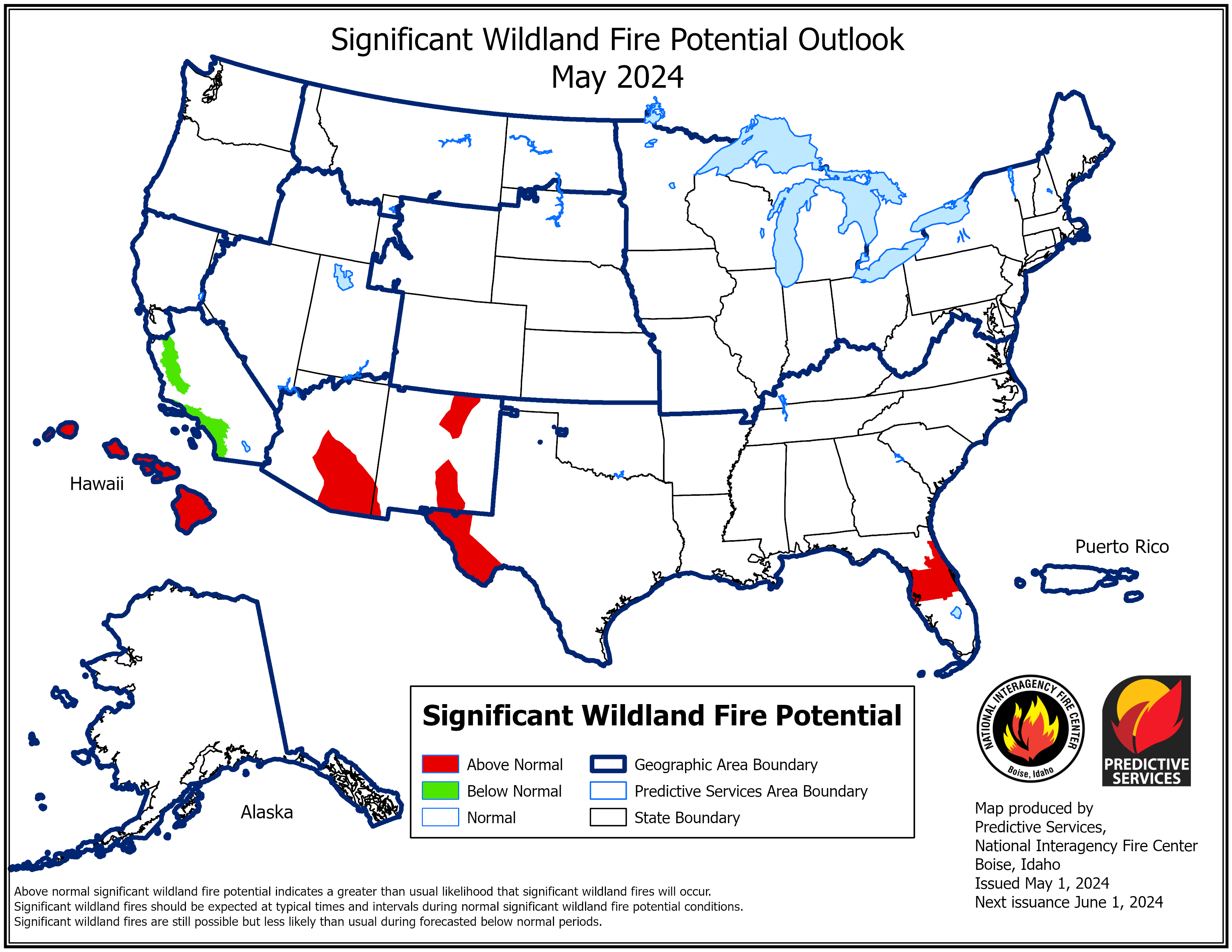
Significant wildland fire potential for February is above normal across southern California, the Deep South and Southeast. For additional information on wildland fire potential, visit the National Interagency Fire Center’s One-Month Wildland Fire Outlook.
For more detailed climate information, check out our comprehensive January 2025 U.S. Climate Report scheduled for release on February 13, 2025. For additional information on the statistics provided here, visit the Climate at a Glance and National Maps webpages.