
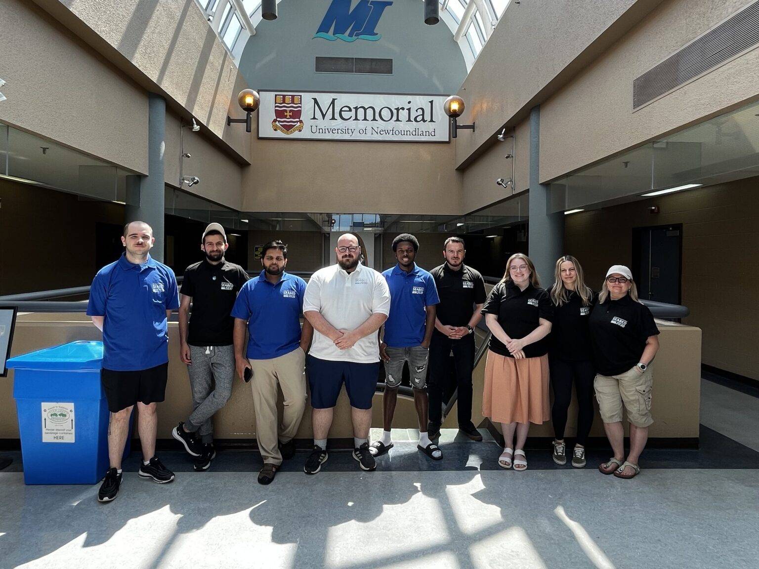
Six Marine Institute summer interns, along with two TCarta employees and one Marine Institute staff member, mapped nearly 40,000km² of seafloor. (Source: TCarta)
Six students have taken part in a summer-long paid internship facilitated by TCarta which resulted in 39,304km² of 10m-resolution satellite-derived bathymetry across four areas of interest worldwide, all within eight weeks.
The participants were either recent graduates or current students in the Marine Institute Ocean Mapping program of Memorial University, Canada.
The mobilization was a collaborative effort among TCarta, Memorial University and The Nippon Foundation-GEBCO Seabed 2030 Project, which aims to inspire the complete mapping of the seafloor by 2030.
The bathymetry was generated for the coastlines of Somalia, the Mosquito Coast, the Galapagos and the islands of the Lesser Antilles.
During the summer, the students were introduced to a range of satellite imagery options and learned to evaluate the strengths of each for various project applications. TCarta provided training on using a pre-processing tool to prepare in situ data from sonar or Lidar, which served as calibration datasets for processing satellite images. Additionally, the students were taught how to apply an enhanced version of a traditional band ratio algorithm alongside a machine learning algorithm in iterative processes to derive water depth measurements from individual image pixels.