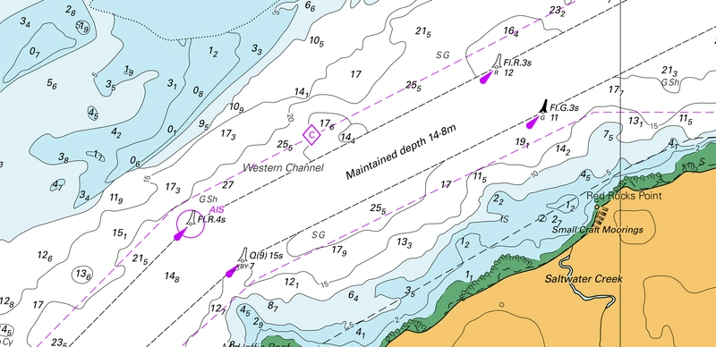
Teledyne Geospatial has announced CARIS AutoChart, a new nautical chart production solution.
Traditionally, the production of nautical paper charts has been labor-intensive and time-consuming, often fraught with challenges related to manual data entry, complex chart formatting, and the integration of various data sources. Recognizing the need for a modern, technology-driven approach, CARIS AutoChart is a comprehensive software solution tailored specifically to the needs of nautical chart producers.
CARIS AutoChart was formally released as part of the Australian Hydrographic Office’s (AHO) event for World Hydrography Day on June 21, 2024. The AHO has been an early adopter of CARIS AutoChart providing valuable feedback.
Key features of the new software solution include:
• Automatically generate charts in PDF/TIF from ENC data: Seamlessly import data from ENC files to create comprehensive and up-to-date nautical charts in PDF and/or TIFF format.
• Automate an existing chart portfolio: CARIS AutoChart can generate chart templates from existing chart portfolio maintained with CARIS paper chart composer or CARIS HPD paper Chart Editor.
• Keep a paper chart ‘look-and-feel’: CARIS AutoChart utilizes optimized symbolization rules but can reuse as much as possible of an existing CARIS symbolization library so that charts keep their look-and-feel.
In addition to its core functionality, the software solution is designed to be flexible and scalable, accommodating the unique needs of chart production facilities of all sizes. Hydrographic offices, port or waterways authorities will all benefit from the strength of this software that promises to reduce time to delivery and free resources so they can work on new challenges, says Teledyne Geospatial.

