We’ve all been there: you’re out and about and suddenly need a public restroom. Google Maps can be a good resource for finding one nearby. If I’m in a new city, I usually try the closest Starbucks or department store. These are guaranteed to work, though you might have to buy something so you can use their bathroom.
As for public bathrooms outside of stores and restaurants, it’s not always that easy to find one. That’s why I think New York City’s idea of creating a custom Google Maps layer with all the public restrooms in the five boroughs is terrific. Between the toilets shown in that layer and the restaurants, stores, and museums around, you should be able to find a toilet in no time.
But what if Google went one step further and displayed public restrooms by default in Google Maps? You know, as an extra layer that cities like New York could manage and update with new information.
Google Maps already provides plenty of useful information for navigating a new place or your hometown.
The app will show you accessibility information for certain buildings and accurately display sidewalks and crosswalks. Google Maps also informs you which exit to take when using public transit to get to your destination and provides charging station information for your EV.
Google Maps also supports various useful layers, including one that shows the air quality in your region. Additionally, you get layers for traffic, public transportation, and biking lanes.
There’s no reason Google Maps can’t support a public restroom layer that goes beyond searching for a public restroom or finding the closest restaurant or coffee shop.
The municipality of New York announced new public restroom initiatives this week. The NYC Parks department will build 46 public restrooms and renovate 36 others over the next five years. In all, NYC will offer 1,000 public bathrooms to locals and tourists.
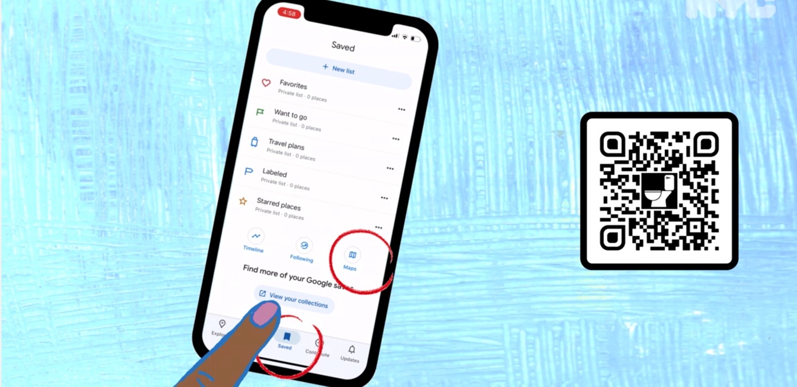
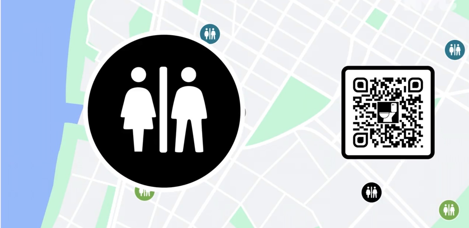
The Google Maps layer, available at this link, is part of the new “Ur In Luck” initiative. You can also use the QR codes in the images above and below to get to the same custom map.
Released earlier this week, the layer already topped 145,000 views at the time of this writing. This proves such a resource is clearly in demand.
The city of New York plans to update the Google Maps layer twice a year with new information. It’ll cover restrooms “operated by NYC Parks, DOT, the Metropolitan Transit Authority, the city’s ‘privately-owned public spaces,’ and all three of the city’s library systems — the New York Public Library, the Brooklyn Public Library, and the Queens Public Library.”

NYC plans to run a series of online ads explaining how to use the Google Maps layer. All you need to do is scan the QR code seen in some of the images above, and it’ll open Google Maps for you. The new layer will appear in your list of saved maps, so you’ll be able to revisit it again. You can also rescan the QR code, which you’ll surely find around town in all sorts of places.
Again, this is a great idea, and Google should consider stealing it and adapting it to work elsewhere. It should work as a layer to not crowd Google Maps with information that’s not always necessary. You’d only need it when you really need to go. The layer could be useful when planning trips to specific destinations.

