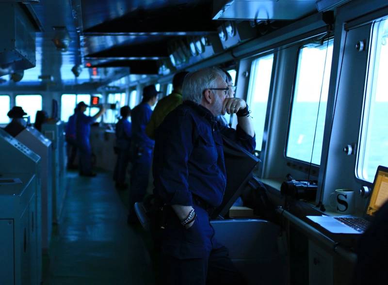
It’s late in the season so Captain Duke Snider, sailing on a resupply voyage from New Zealand to Antarctica, is expecting virtually no sea, just glacial ice.
Snider has been an ice navigator for decades, and he has seen the ocean change, not just here in the polar south, but in Arctic waters as well.
“Variability is much greater than in the past when we could expect an ice breakup to occur within a calendar week, year after year, whether it was the Arctic or the Antarctic,” he says. “Now, you have to look at each year individually and be more alert than ever before, particularly with lower ice class or non ice class vessels.”
He notes the rule-of-thumb from past decades where ships planned to be out of the Arctic by September 28. Now, low ice class vessels are operating until November. “Then, all of a sudden, the situation returns to the historic norm for a season, and inexperienced operators are caught by surprise.”
Warmer average temperatures and the corresponding loss of sea ice is allowing glaciers to move more quickly across the land and then calve more readily when they reach the sea. That means more glacial ice, more icebergs.
“We are seeing icebergs in the Beaufort Sea, where we never saw them before, because multi-year ice used to sit on the top of the north side of the Canadian Archipelago. But, with reduced multi-year ice cover in the Arctic, the glaciers are now able to calve off and the currents are carrying glacial ice into the Beaufort Sea.
“So, the bottom line is, we are seeing the more dangerous types of multi-year ice and glacial ice more often, raising the risk.”
Snider is experiencing first-hand what climate scientists are grappling with as they try to understand the effects of climate change. Direct observation is challenging as satellite sensors have a coarse spatial resolution. Deploying human-crewed ships is difficult due to extreme weather conditions. AUVs are hindered by energy constraints that restrict their research potential.
Still, satellites have continuously monitored the Earth’s polar regions since November 1978, and over that period, Arctic sea ice has declined.
Since 2014, Antarctic sea ice has exhibited both record-high and record-low extents. From 2013 through 2015, Antarctic sea ice extent was mostly above average. In September 2023, the Antarctic winter maximum set a record low by a wide margin. The low Antarctic sea ice extent through much of 2023 was significant enough to flip the long-term annual mean trend from slightly positive to slightly negative.
A recent analysis by Reuters’ fact checking team concluded that an article comparing similar Antarctic sea ice coverage on the same date 45 years apart was misleading as it used the maps to suggest that climate change is a hoax. Cherry-picked Antarctic ice data from two days (December 24 1979 and 2024) does not disprove climate change as it fails to account for the natural variability of Antarctic sea ice.
An NSIDC spokesperson said that while the 2024 date had greater sea ice extent, NSIDC data also showed that there was more Antarctic sea ice on the majority of days in 1979.
As another expert said: “It would be possible to cherry pick two days to give any change you wanted.”
For Snider, it’s important that shipping companies, captains and bridge teams understand the variability that can be encountered in polar seas and gain navigation experience beyond that currently required by the Polar Code. As he says in an upcoming issue of Maritime Reporter magazine, too many mariners have been turning up with a warm, fuzzy feeling only to find that they have no idea what to do when they encounter icy seas.

