Key Takeaways
- Google Maps integrates AI to provide immersive view of routes, landmarks, traffic and weather.
- Use Google Lens in Maps for real-time information on buildings, ratings and hours.
- Discover specific places and photos by searching with AI through reviews, local guides, and images on Google Maps.
Artificial intelligence is the key driving factor of Google’s latest big features, from smartphones to Search. However, some of the brand’s biggest AI hacks can be found in an app already on many Android and Apple devices: Google Maps.
The latest AI features inside feel like what would happen if Google’s Search and Maps had an illegitimate love child. Google Maps now functions more like Search to find exactly the place you’re looking for. The AI also integrates Google’s extensive knowledge to take Maps beyond just driving directions. AI will now help drivers visualize their routes, showing what landmarks are at each turn and even what the traffic and weather will be like at that time of day. As a photographer, I’m ecstatic about the new ability to type in a feature, like “brick buildings” or “parks with bridges,” to find a location based on photos, not just its name.
Google Maps’ new AI features are so impressive, I may just leave Apple Maps behind for good. Here are six new AI features inside Google Maps that you need to try for yourself.
I tested Google Maps, Apple Maps, and Waze to see which app is actually better
With three apps sitting as the dominant forces in navigation, it’s only natural to wonder which one is worth downloading and using to get from A to B.
1 Visualize your route or preview places with Immersive View
See the landmarks, traffic and even weather for your route
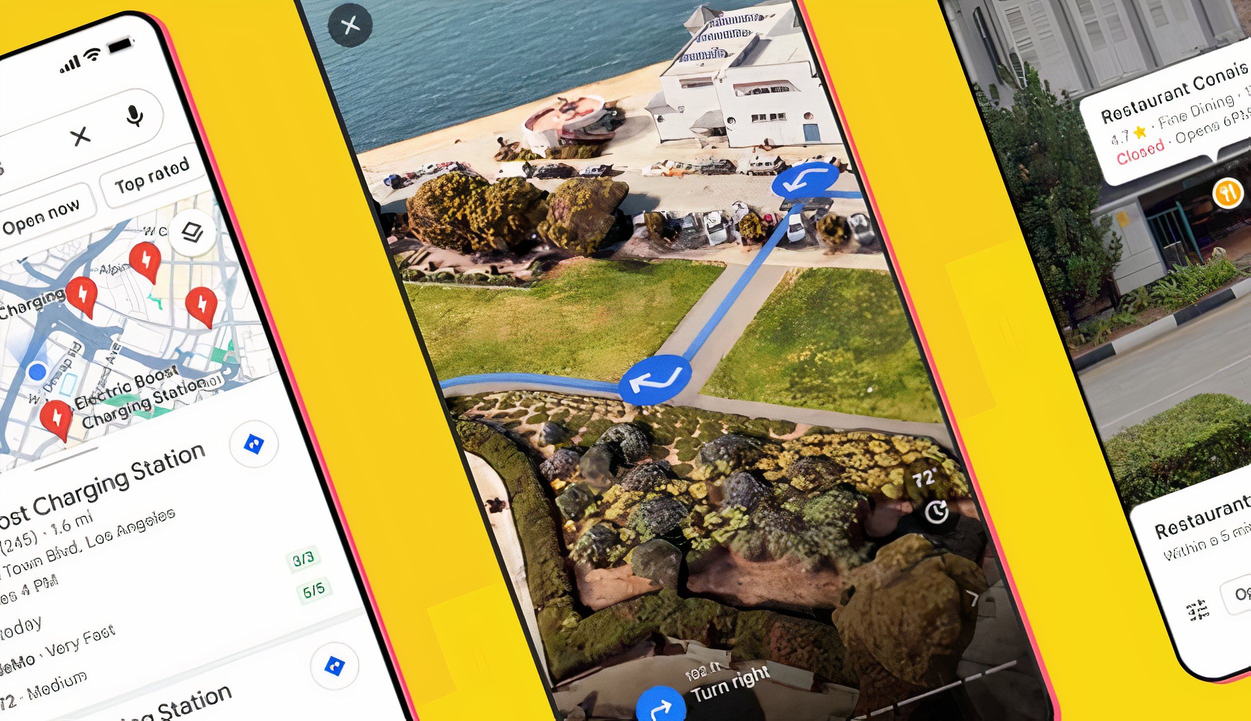
If you tend to drive by landmarks, knowing to turn at the tall red building may be more helpful than knowing to turn down State Street. Directions with IImmersive View are designed to provide not just those landmark details but also insights into traffic and weather. Immersive View uses AI to create an interactive view from Street View images, allowing you to virtually travel through the route before you actually do.
Besides giving you a visual cue as to when your turn is coming up, Immersive View also uses Google’s traffic and weather data to simulate those conditions. Tapping on the clock icon allows you to see the route at a certain time of day. You’ll see more or fewer cars on the road based on how busy the street usually is, and the AI will also simulate the weather conditions.
Immersive View is available in select cities, including Amsterdam, Barcelona, Dublin, Florence, Las Vegas, London, Los Angeles, Miami, New York, Paris, San Francisco, San Jose, Seattle, Tokyo, and Venice. If the option is available in your area, you’ll see a preview of Immersive View with a 3D icon in the lower-left corner after you type in your route details. Tap on that preview to see a full-screen Immersive Preview. Tap the clock and drag the time slider to see how the route changes at different times of the day.
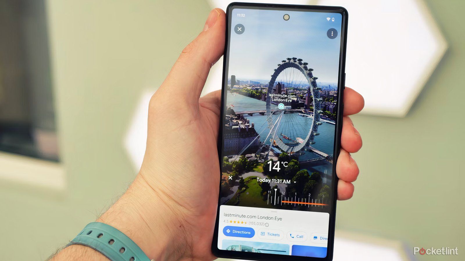
Like the Immersive View for map routes, you can also use AI to preview certain places. This feature combines Google’s Street View with landmarks so you can check them out before you go. The process works similarly to using the feature for routes. Search for your landmark. If Immersive View is available, the first image in the search results will show a preview labeled Immersive View. Tap on that preview to view it in full screen. The feature is available only in some cities and not for every landmark.
Like the route view, Immersive View for landmarks allows you to preview what the place will look like at different times of the day. For example, you can tap on the clock and preview the different times of day to see whether you’ll get better photos at sunrise or sunset, or see when the rain is predicted to hit.
5 reasons why I use Waze instead of Google Maps
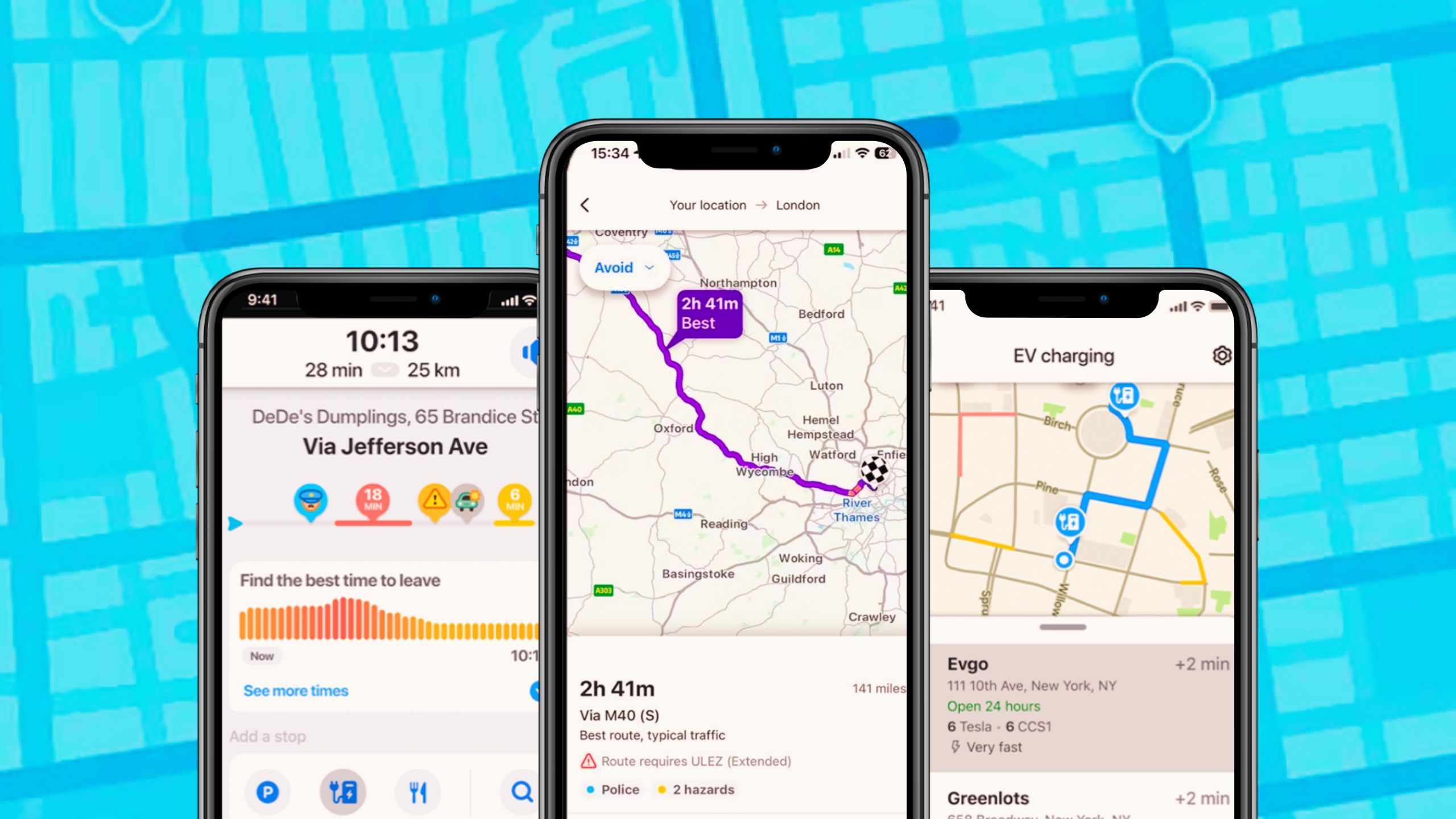
Google has two free navigation apps: Waze and Google Maps. Here’s why, after all these years, I still use Waze over Google Maps.
2 Use Google Lens as a virtual tour guide
Just point your camera to find anything from restaurants to ATMs
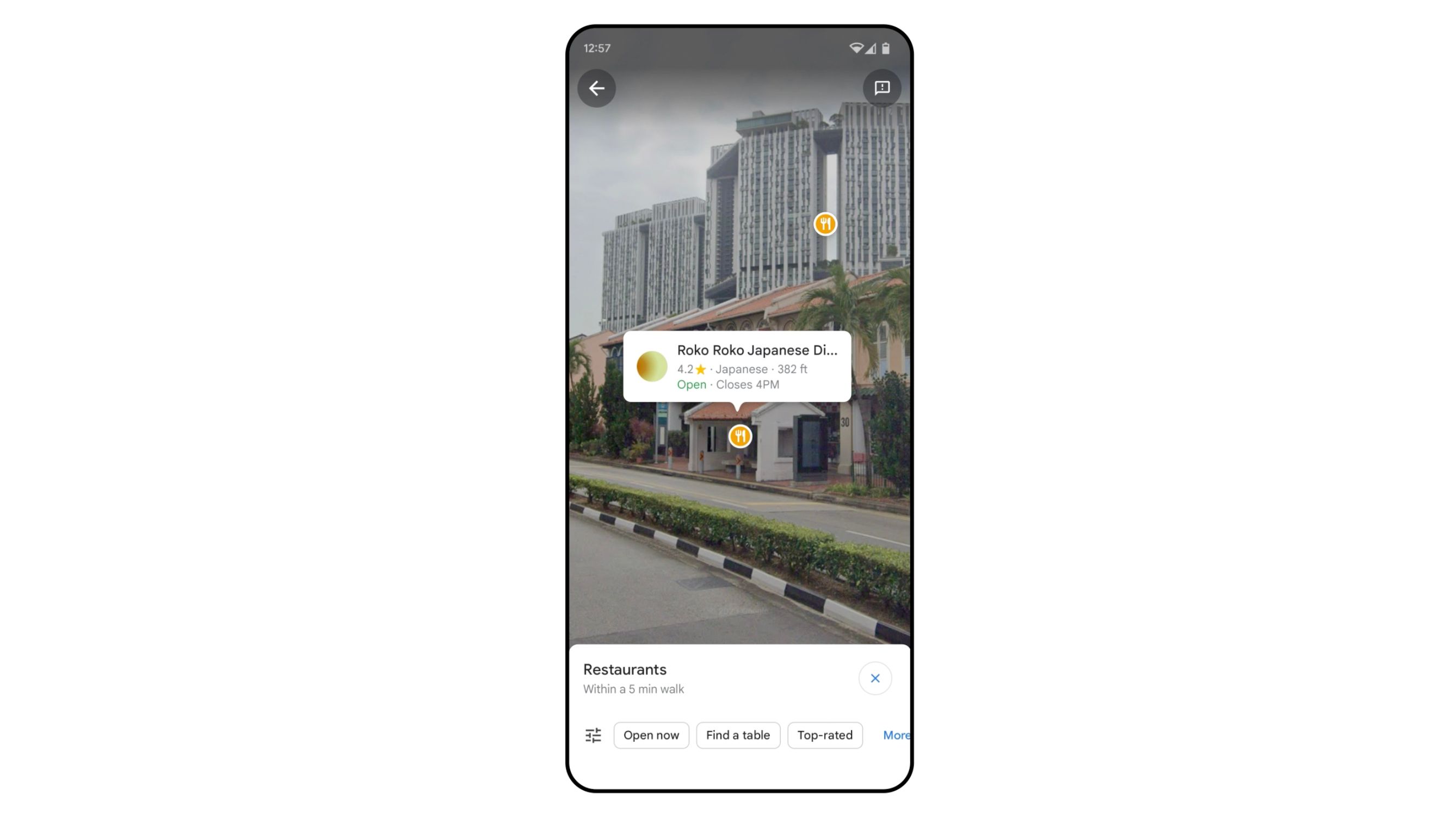
Google Lens uses AI to detail what you are seeing through your smartphone camera in real time. Google has now integrated this feature into Maps, which means you can pan your camera around a new city and see what each building is, along with its rating and hours. You can also use it for tasks like finding an ATM. Essentially, mixing Maps and Lens allows Google to act as a virtual tour guide.
To find Google Lens, tap on the search bar inside Google Maps, then tap the camera icon. The Lens-Maps integration is only available in certain cities, so if you don’t see the camera icon, the feature isn’t yet available at your location.
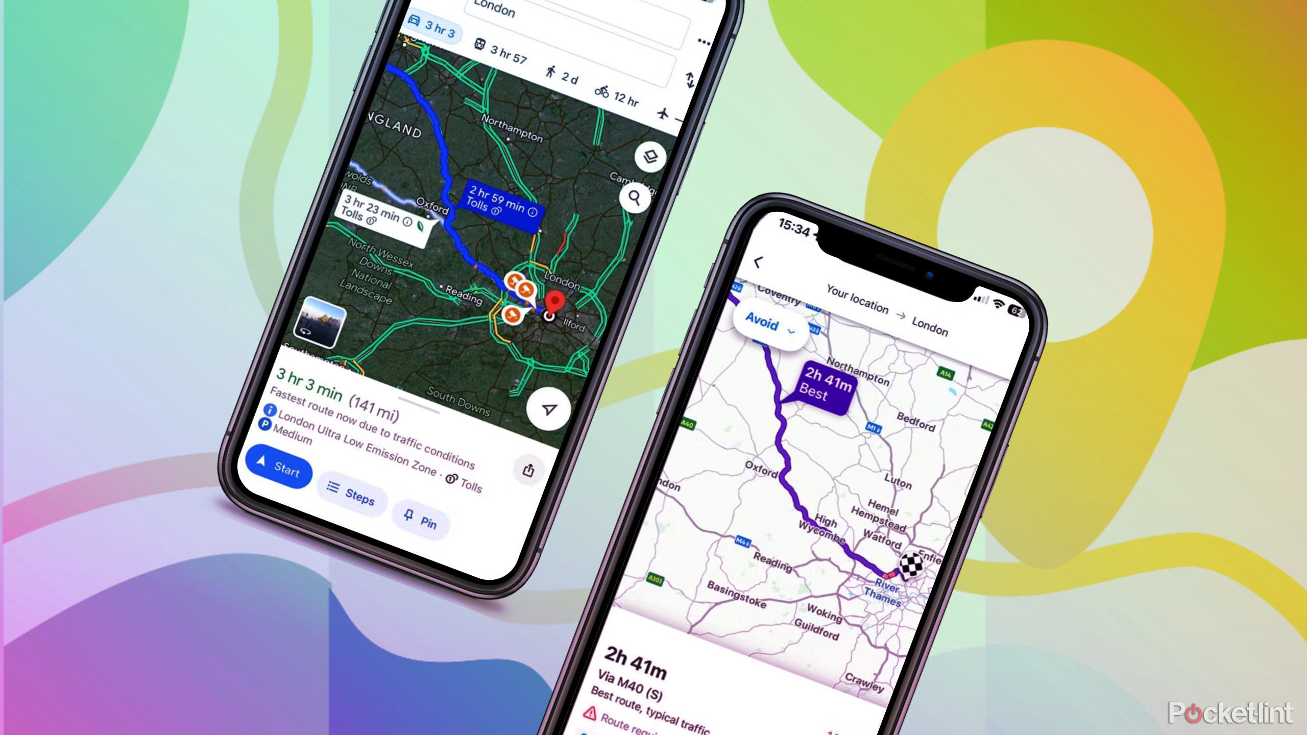
I tested Google Maps against Waze to see which is really better
Google owns two navigation apps called Waze and Google Maps. I use Waze, but I downloaded Google Maps again to see how it compares.
3 Find an EV charging station that isn’t broken
Or plan the best stops to power up
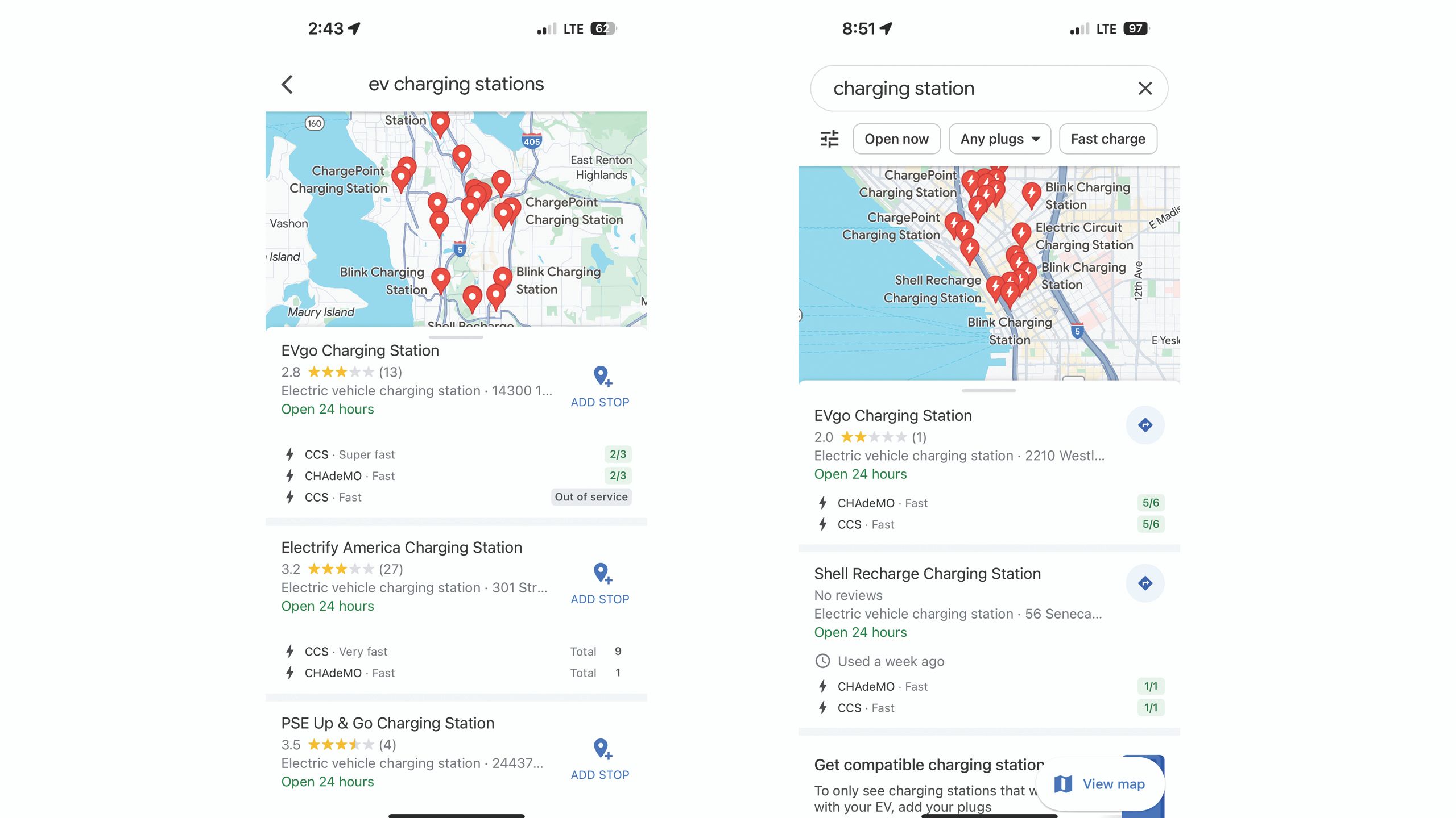
Google Maps can help EV drivers find a charging station. With AI, electric drivers can access even more information. When you search for charging stations, Maps will now display when the station was last used, a good indicator of whether the charging station is functional or out-of-order. You’ll also see feedback from other drivers on how fast the charger is.
Maps will also help EV drivers find the best charging stations to stop at during longer trips, using your route and the rating of the charging station.
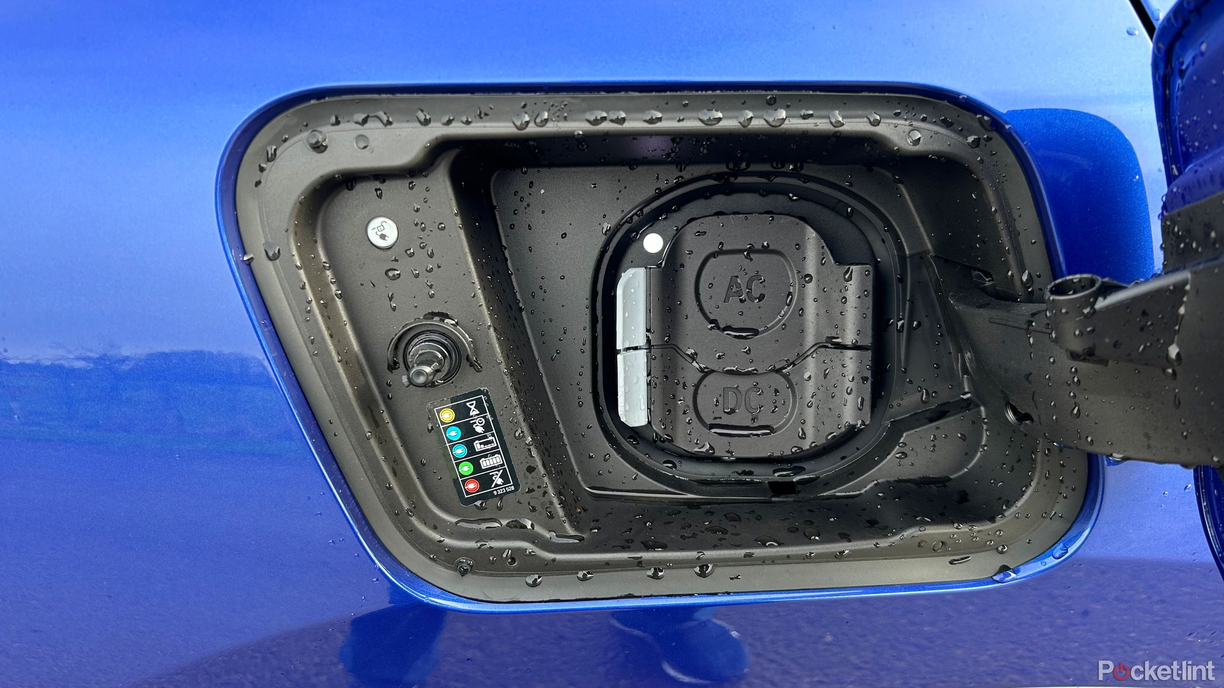
Google Maps is making it easier to find your next EV charge
The focus is on guiding you to the right chargers, not just the nearest point on the map.
4 Search Maps just like Google for specific places and photos
Maps will now use photos to find exactly what you are looking for
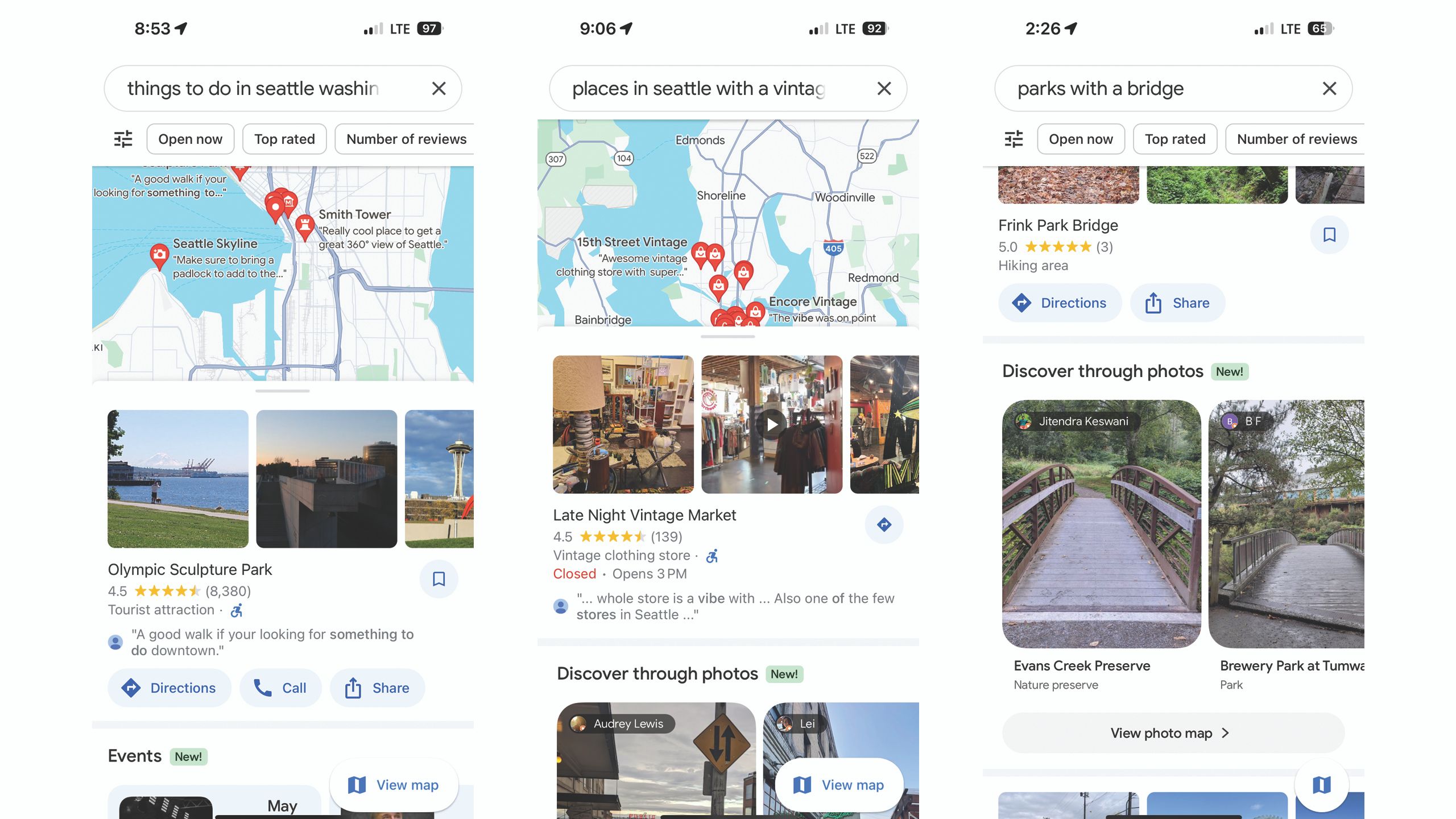
Google has long been the destination for searches like, “things to do in Seattle.” But the AI now integrated into Google Maps allows me to use the location app to find places in much the same way. While you’ve long been able to type destinations into the search bar on Google Maps, the integrated AI looks not just at the name of a location but also searches through reviews, Local Guides, and, most importantly, photos.
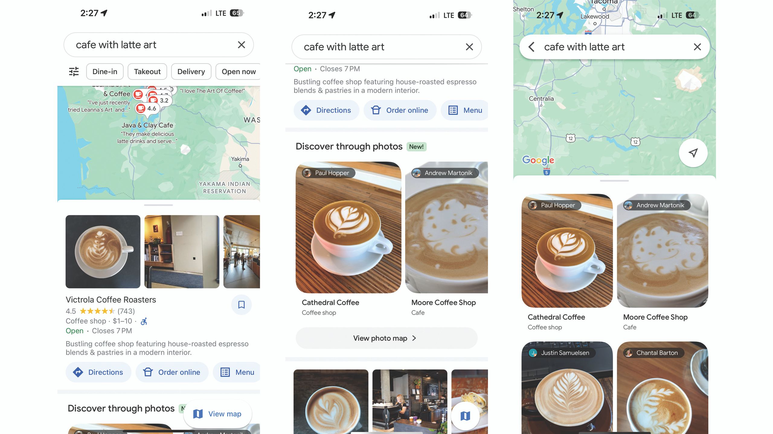
The new Discover Through Photos update helps find specific oddities, such as a coffee shop with latte art, by searching through photos taken at that location. This means you can even find things that aren’t explicitly stated on the location’s website or reviews. As a photographer, I’m excited at the possibility of being able to search for things like “brick buildings” or “park with a bridge” to find possible locations that match the vibe I want in my photos.
1:04
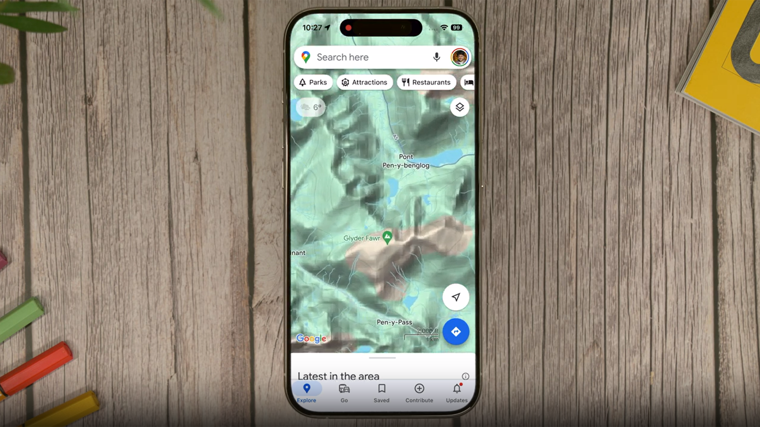
How I quickly find and check my elevation on Google Maps
You can easily see how high you are from anywhere — just open Google Maps to check out your elevation. Here’s how, step by step.
There’s no trick to using this new feature — just type what you are looking for into the search bar. Tap on Discover Through Photos if you want to look through images that match your search. While this feature is more widespread, like other AI features, access varies by location. You’ll find better results searching for specifics in a large city.
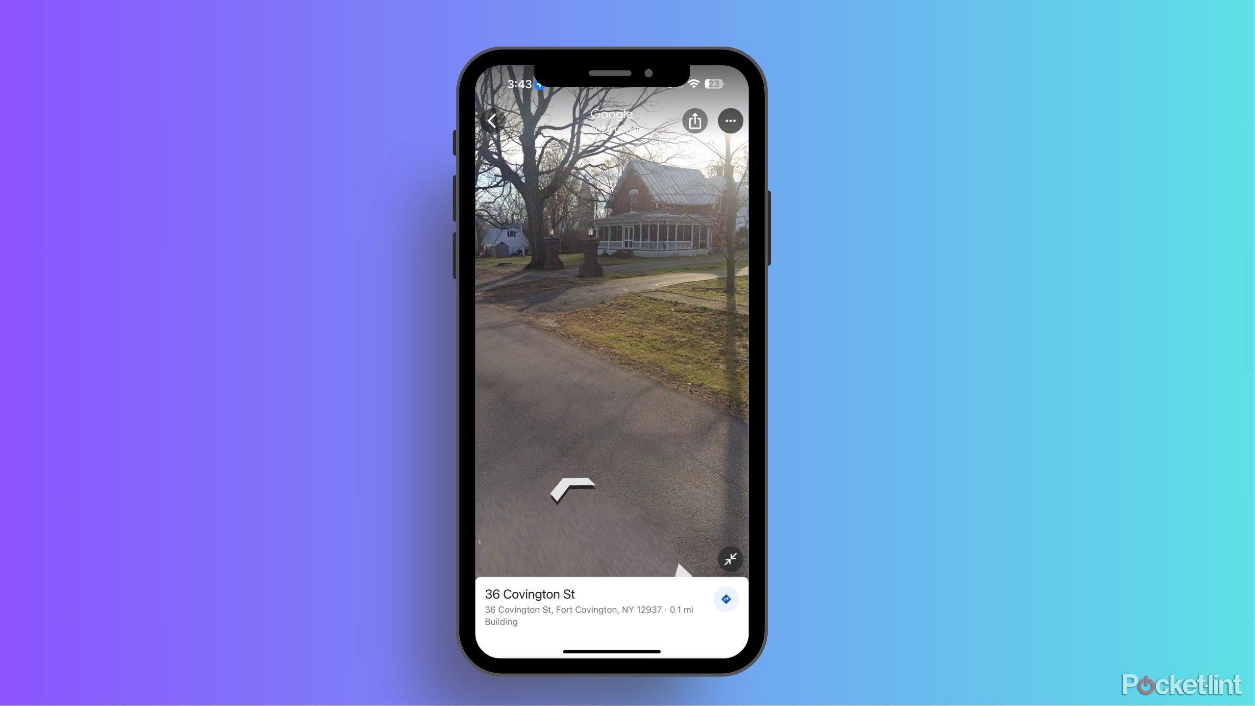
How often does Google Maps update Street View?
Can’t wait for your renovated house to show up on Google Street View? Here’s what you need to know about how the feature gets updated.
5 See exactly where to walk with AR
Overlay Google’s instructions on your camera’s view
Pocket-lint
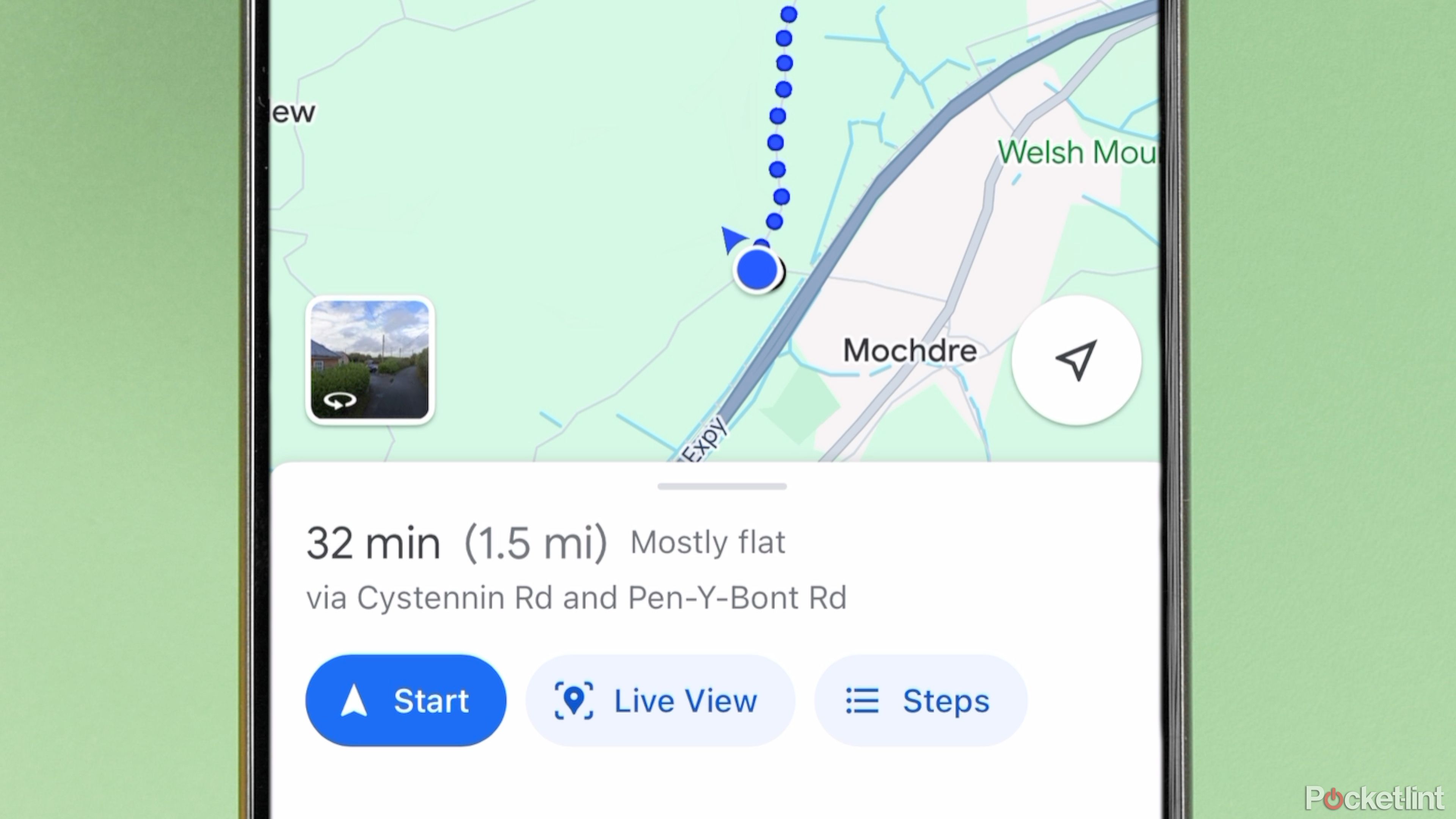
Walking rather than driving? Google’s augmented reality mode will overlay the instructions with your camera’s view. This allows you to see exactly what path and direction to take.
To find Google Maps’ Live View, type in the destination as you normally would, then be sure to choose walk, as the feature isn’t available for driving. Then tap the Live View button next to the start button.
1:01
What is Google Maps AR navigation and Live View and how do you use it?
Get a better view of where you’re going.
6 Coming soon: Ask AI to plan your trip
An AI-powered chatbot experience is coming to Google Maps soon
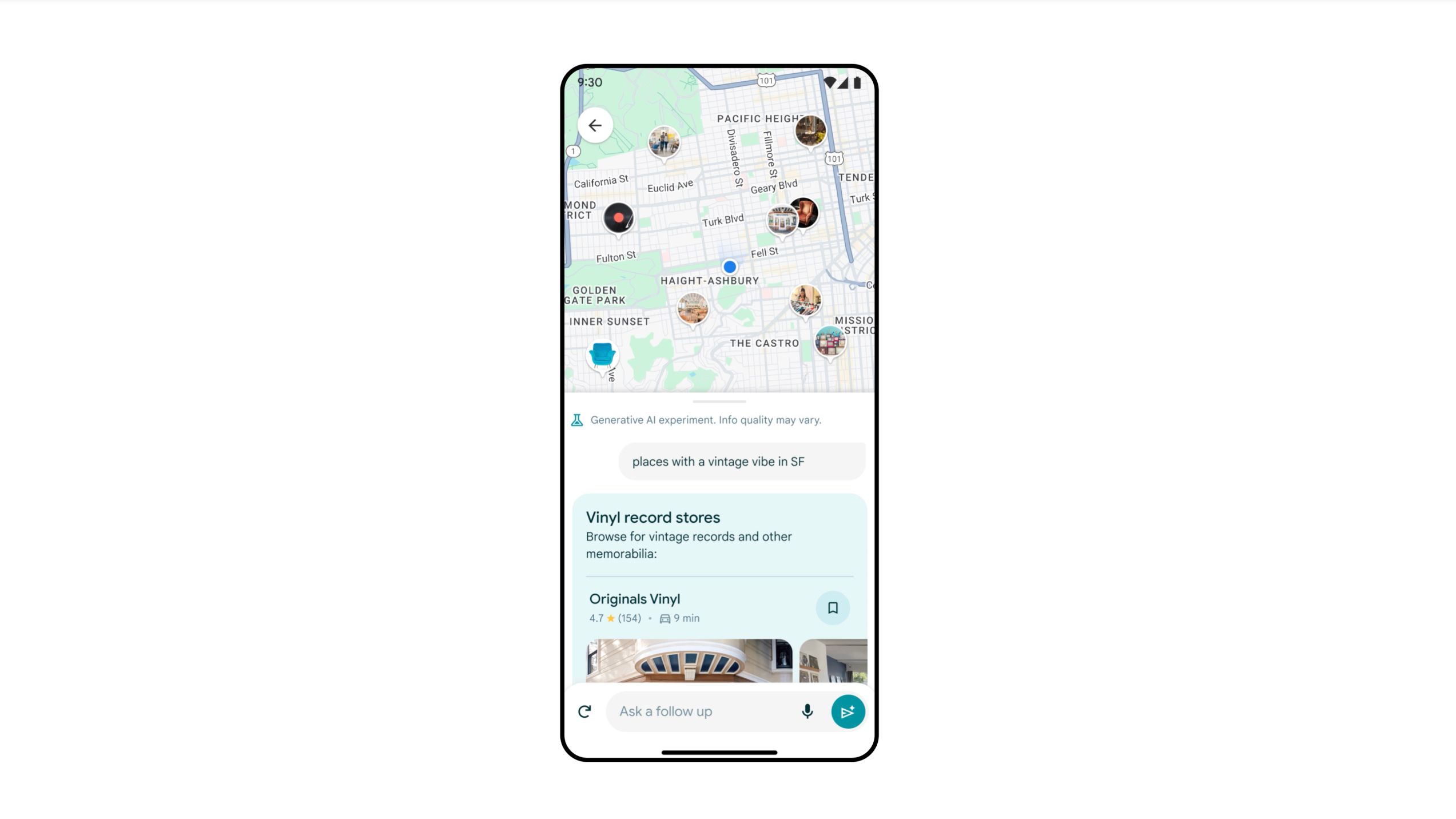
While AI is already powering more search tools for Maps, generative AI will soon expand that capability even further. Earlier this year, Google announced an upcoming update that uses generative AI to find specific places. The AI searches through not just the web but also the location’s reviews and photos. Like talking with an AI chatbot, you can also ask follow-up questions if you don’t get the results you are looking for. For example, if you ask for activities to do on a rainy day, you might want to follow up with kid-friendly options or a nearby place to eat lunch.
This integrated generative AI works with both typed questions and audio. Google has already rolled this feature out to select Local Guides, but not all users have full access to this feature yet.

